At Geospatial Engineering Pty Ltd, we are a team of highly skilled scientists, engineers, and PhD-qualified professionals committed to delivering cutting-edge geo-spatial solutions. Our expertise spans across precision agriculture, forestry, oil and gas, and asset management, ensuring that we cater to a broad spectrum of industries with tailored services.
We harness the power of GIS, remote sensing, and carbon project consultancy to provide actionable insights that support sustainable decision-making and optimized resource management. Whether it's improving crop yields, managing natural resources, monitoring environmental impacts, or optimizing infrastructure assets, our team combines technical excellence with innovative approaches to meet your needs.
Our clients benefit from our deep industry knowledge and commitment to delivering high-quality, data-driven solutions. Geospatial Engineering Pty Ltd is your trusted partner in navigating the complexities of geo-spatial technology for impactful results.
Get to know us
Services and history
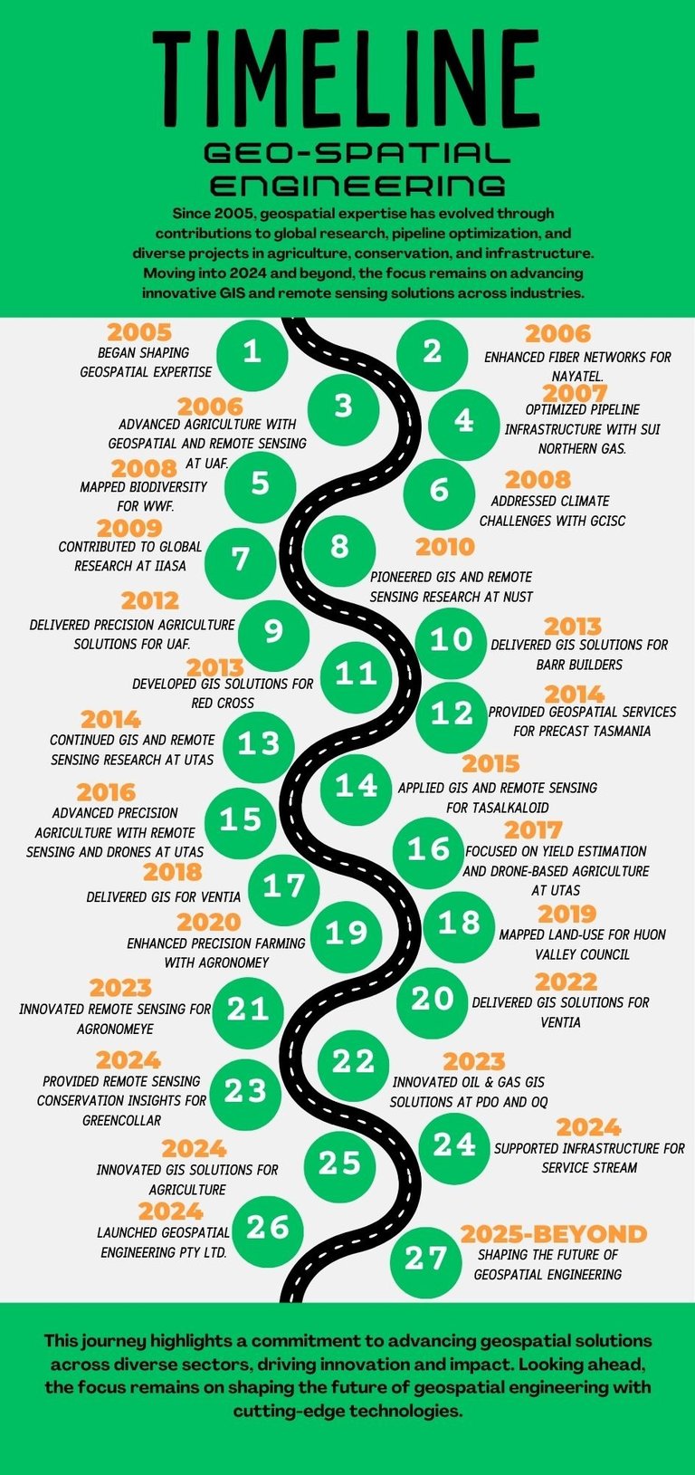
20 Years of Undefeated Success
At Geospatial Engineering Pty Ltd, while our company is new, the wealth of experience behind it is undeniable. Our team is built on a foundation of over 20 years of collective expertise in the geospatial engineering field, gained from working on numerous high-profile projects across various industries. With each team member bringing over 15 years of hands-on experience, we offer our clients the depth of knowledge and innovative solutions they need to achieve success.
Our Experience
Geospatial Engineering Pty Ltd is backed by a team of seasoned professionals whohave consistently delivered reliable, high-quality results in the geospatial sector. Our collective experience spans a wide range of services, including GIS, remote sensing, drone mapping, environmental monitoring, and infrastructure management. We have served diverse organizations, from government agencies to private enterprises, demonstrating our capability to handle complex geospatial challenges with precisionand expertise.
Proven Expertise, New Beginnings
Though Geospatial Engineering Pty Ltd may be a newly established company, wecarry forward the expertise and professionalism developed over decades of work inthe geospatial industry. Our portfolio reflects the strength of our team’s combinedexperience, allowing us to offer cutting-edge solutions in areas like carbon projectdevelopment, precision agriculture, asset management, and environmental conservation. We are here to support your projects, ensuring they are built on afoundation of geospatial accuracy and insight.
The Future
As a company, we are just beginning to write our story, but the experience and dedication of our team ensure that the future is bright. With over two decades of combined industry success, Geo-Spatial Engineering Pty Ltd is positioned to bring innovative and sustainable geospatial solutions to your doorstep.
End-To-End Solution
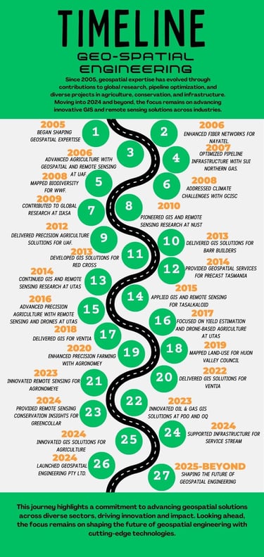
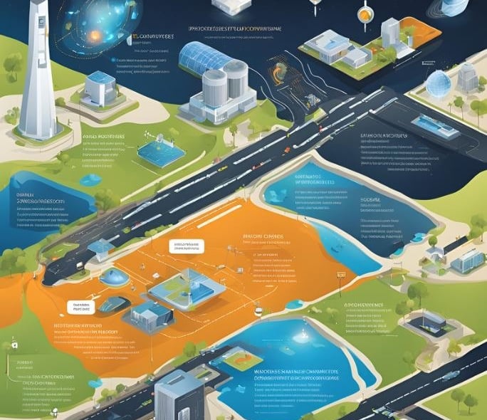
At Geospatial Engineering Pty Ltd, we provide a comprehensive end-to-end solution for all your geospatial needs. Our services cover every stage of your project, from initial planning and site assessment to implementation and ongoing management. Here’s how we ensure a seamless experience for our clients:
Project Scoping and Consultation: We begin with a detailed consultation to understand your project requirements, goals, and constraints. Our experts work closely with you to define the scope, deliverables, and timeline, ensuring that every aspect of the project is clearly outlined and agreed upon.
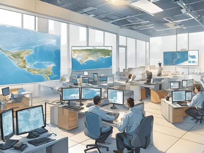
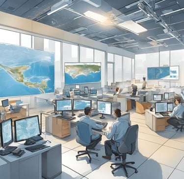
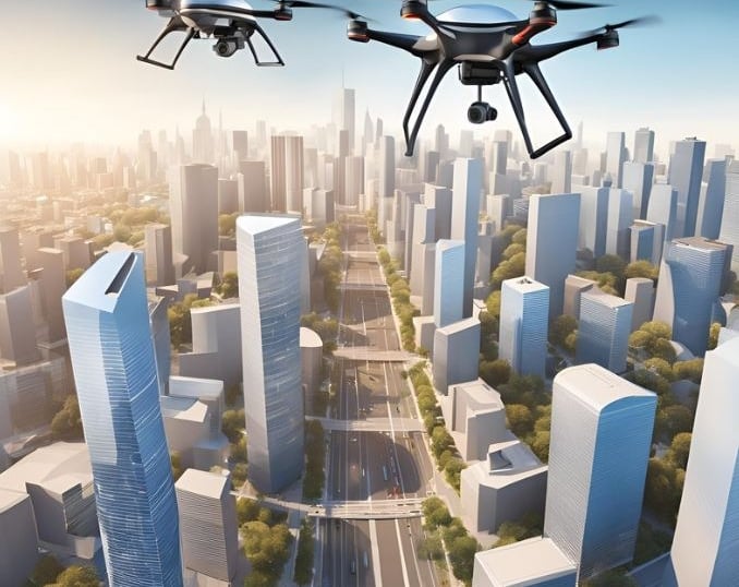
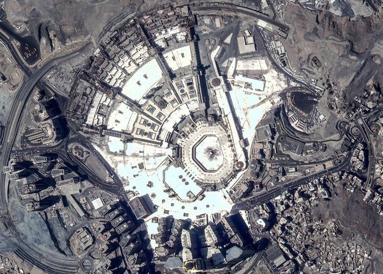
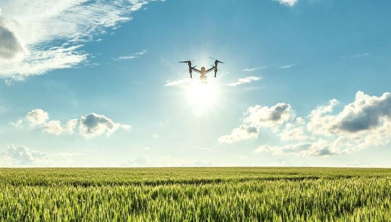
Data Collection and Analysis: Leveraging the latest technologies, including Unmanned Aerial Systems (UAS), drones, and satellites, we collect high-resolution data tailored to your specific needs. Our advanced data collection methods provide accurate and comprehensive insights, essential for informed decision-making.
Geospatial Modeling and Mapping: Using the collected data, we create detailed geospatial models and maps. These models are crafted to reflect the precise characteristics of the project area, including topography, infrastructure, and environmental factors. Our 3D modeling services allow for in-depth visualization and analysis.
Customized Solutions: Our team tailors each solution to meet your unique project needs. Whether it’s optimizing a transportation network, managing environmental resources, or planning renewable energy projects, we customize our approach to ensure that it aligns with your objectives and constraints.
Implementation and Integration: We support the implementation of geospatial solutions by integrating our data and models with your existing systems. This ensures a smooth transition from planning to execution, enhancing the effectiveness of your project.
Ongoing Support and Maintenance: After project completion, we provide ongoing support and maintenance services. Our team offers regular updates, monitoring, and adjustments as needed to ensure the long-term success and sustainability of your project.
Reporting and Insights: We deliver comprehensive reports and actionable insights based on our analysis. Our reports are designed to provide clear, detailed information that helps you make informed decisions and track project progress.
Our Core Values
Guiding Excellence in Geospatial Solutions
At Geospatial Engineering Pty Ltd, our core values are the cornerstone of our operations and define our approach to delivering exceptional geospatial solutions. These principles underpin every aspect of our work, guiding us in our commitment to innovation, precision, sustainability, and integrity.
Innovation

Precision
Sustainability
Excellence
Integrity
Collaboration
Client-Centric Approach


Leading with the latest UAS, drone, and satellite tech to deliver cutting-edge solutions.
Ensuring top accuracy with advanced tools for effective decision-making and project success.
Supporting environmental conservation and resource management aligned with global goals.
Ensuring top accuracy with advanced tools for effective decision-making and project success.
Enhancing solutions through close partnerships and teamwork with clients and stakeholders.
Focusing on client needs to deliver responsive and valuable solutions.
Leading with the latest UAS, drone, and satellite tech to deliver cutting-edge solutions.


People and culture
At Geospatial Engineering Pty Ltd, our team’s extensive experience and diverse skills are our greatest strengths. With over 20 years in geospatial engineering, we foster a collaborative environment where integrity, excellence, and teamwork drive our success.
Core Values
Integrity: Upholding honesty and professionalism.
Excellence: Committed to high standards and continuous improvement.
Collaboration: Valuing teamwork and open communication.
Our Culture
We promote a supportive, dynamic workplace that encourages professional growth and innovation. Our commitment to diversity ensures an inclusive environment where all team members can thrive.


Furqan Iqbal
Manager GIS


Dr Juwairia
Head of Remote Sensing for ecology
Mahwish
Head of GIS for soil carbon
Dr Irfan Akhtar
Head of LIDAR for NRM
Dr Usman
Head of Geomatics
Engr Sadia
Manager GIS for water resources
Engr Yahya
Manager engineering
Johan
Manager accounts
Innovation
Transforming industries with advanced geospatial solutions.
Precision
Sustainability
contact@geo-spatial.com.au
© 2024. All rights reserved by Geo-Spatial Engineering.