Why Choose Us?
Geospatial Engineering Pty Ltd combines over 20 years of industry expertise with the latest UAS, drone, and satellite technology to deliver precise and innovative geospatial solutions. Here’s why our clients choose us:
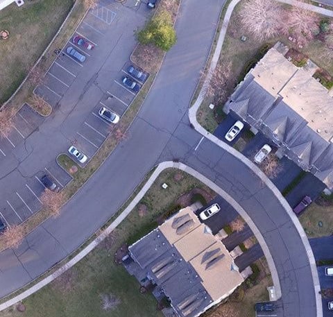
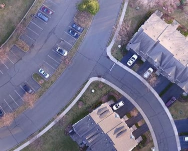
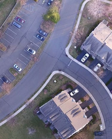
Precision Mapping
Utilizing drone technology and GIS for high-precision spatial data collection.
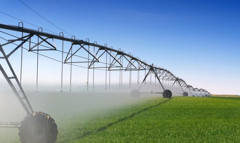
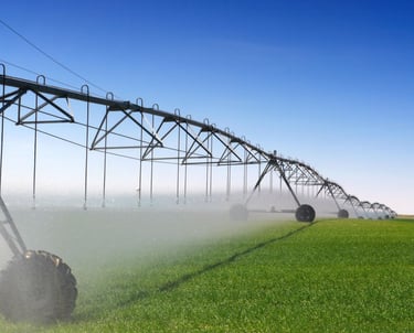
Sustainable Management
Empowering clients in environmental management and resource planning for sustainability.
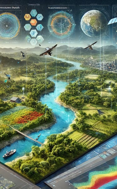
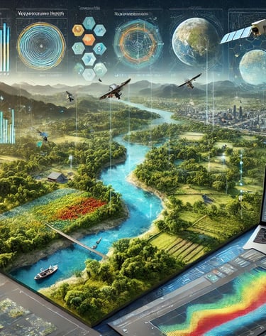
Comprehensive GIS and Remote Sensing Services
At Geospatial Engineering Pty Ltd, we offer a full spectrum of GIS and remote sensing services designed to meet diverse needs across various sectors. Our expertise ensures accurate, actionable insights for projects of any scale. Here’s an overview of what we can do:
Detailed Mapping and Analysis
We create high-resolution maps and perform in-depth spatial analysis to support effective decision-making. From infrastructure planning to environmental assessments, our maps provide crucial information for successful project execution.
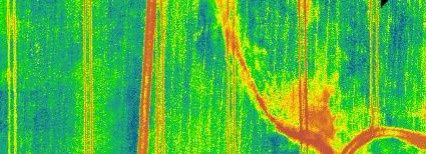
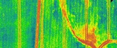
Advanced Remote Sensing
Utilizing data from satellites and drones, we offer detailed imagery and analysis. This includes monitoring land use changes, environmental conditions, and resource management. Our advanced sensors capture critical data, helping you make informed decisions.
Custom Geospatial Solutions
Whether it’s route planning for energy projects, asset management for infrastructure, or environmental monitoring, our tailored solutions address specific project requirements. We design and implement geospatial solutions that align with your goals and regulatory needs.
Real-Time Monitoring and Reporting
Stay updated with real-time data and reporting. Our services include ongoing monitoring of environmental parameters, infrastructure conditions, and more, ensuring you have the latest information at your fingertips.
High-Quality Visualizations
From 2D and 3D models to detailed survey packages, our visualizations help you better understand and communicate complex data. These tools are essential for project planning, stakeholder presentations, and regulatory compliance.
Expert Consultation and Support
We provide expert guidance and support throughout your project lifecycle. Our team is here to assist with data analysis, process improvement, and compliance, ensuring that your project is successful and meets all requirements.
Optimizing asset management for efficiency and sustainability
Asset Management
Geospatial Innovations
Transforming industries with advanced spatial data and innovative solutions.


Innovation
Transforming industries with advanced geospatial solutions.
Precision
Sustainability
contact@geo-spatial.com.au
© 2024. All rights reserved by Geo-Spatial Engineering.